


The Tilicho Lake Trek is a beautiful and popular trekking route in the Annapurna Region of Nepal. It leads trekkers to Tilicho Lake, one of the highest lakes in the world, situated at an altitude of 4,919 meters (16,138 feet). The trek offers stunning views of the Annapurna Massif, Manaslu, Dhaulagiri, and other snow-capped peaks, along with diverse landscapes ranging from subtropical forests to alpine meadows and glaciers.

Highlights of the Tilicho Lake Trek:
- Spectacular Views of the Annapurna Range:
- The trek offers stunning views of the Annapurna and Dhaulagiri ranges. On the way to Tilicho Lake, trekkers can enjoy panoramic views of peaks like Annapurna I, Annapurna II, Annapurna III, and Manaslu.
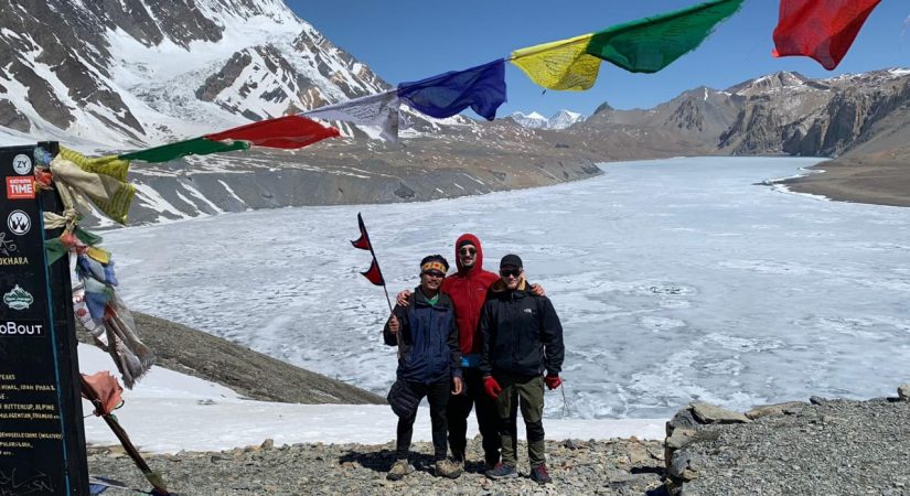
- Tilicho Lake:
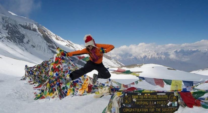
- At 4,919 meters, Tilicho Lake is one of the highest lakes in the world. It is known for its crystal-clear waters surrounded by majestic snow-covered mountains, creating a surreal and breathtaking atmosphere.
- Cultural Diversity:
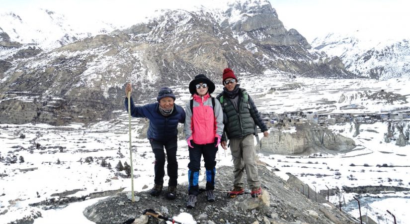
- The trek passes through ethnic villages where you can experience the culture and lifestyle of local communities such as Gurungs, Manangis, and Thakalis. These communities are known for their warm hospitality, and the region is rich in Tibetan Buddhist traditions.
- Varied Landscapes:
- The trail takes trekkers through lush forests, alpine meadows, and barren high-altitude deserts. The contrast between the subtropical lower regions and the arid upper regions is stunning.
- Acclimatization Opportunity:
- The trek includes rest days for acclimatization in places like Manang (3,540 meters) and Khangsar (3,730 meters), helping trekkers adjust to the altitude before ascending to the lake.
- Tilicho Base Camp:
- The route includes a visit to Tilicho Base Camp, which offers magnificent views of the surrounding mountains and is the last stop before reaching the lake.

Safety Tips for the Tilicho Lake Trek:
-
Acclimatization: The trek takes you to high altitudes, so it’s important to acclimatize properly to avoid altitude sickness. Take rest days at Manang and Khangsar to allow your body to adjust.
-
Physical Fitness: The trek requires a good level of physical fitness as it involves long days of trekking and significant altitude gain. Pre-trek preparation, including cardio exercises and hiking, is essential.
-
Guide and Porter: While the trail is well-marked, hiring a guide and porter is recommended for a more comfortable and safer trek. A guide can help you navigate the terrain and deal with any potential altitude issues.
-
Packing: Bring the necessary gear for high-altitude trekking, including a warm sleeping bag, layers of clothing for varying temperatures, trekking poles, good footwear, and a first aid kit.
-
Weather Considerations: Weather at higher altitudes can change rapidly, so be prepared for sudden rain, snow, or cold temperatures
Duration:
- The trek usually takes around 13 to 16 days, depending on the chosen route and pace.
Difficulty:
- The difficulty level is considered moderate to difficult due to the altitude gain, challenging terrain, and long trekking hours. The highest point, Tilicho Lake, is at 4,919 meters, which requires proper acclimatization to avoid altitude sickness.
Best Time to Trek:
- Spring (March to May) and Autumn (September to November) are the best seasons for the Tilicho Lake Trek. During these seasons, the weather is clear, and you’ll enjoy pleasant trekking conditions.
Trekking Season:
- Winter (December to February): Not recommended due to snow and extreme cold conditions at higher altitudes.
- Monsoon (June to August): Trekking is also not recommended during monsoon due to heavy rainfall, which can make trails slippery and increase the risk of landslides.
Permits Required:
-
Annapurna Conservation Area Permit (ACA
-
TIMS (Trekking Information Management System) Card
Trip Outline
Day 01: To Besisahar by tourist bus (830m) – 7 hours:
Day 02: Drive to Chame (2,630m) – about 5 hours:
Day 03: To Pisang (3,300m) – 5 hour
Day 04: To Manang (3,540m) – 5 hours
Day 05: To Khangsar (3,734m) – 4 hours
Day 06: To Tilicho Base Camp (4,200m) – 5 hours / Tilicho Lake 4920m
Day 07: To Tilicho Lake (5,200m) and back to Yak Karkha(4200m) – 6 hours
Day 08: To Manang / Pisang
Day 09: To Chame / Behishahar
Day 10: To Ktm
Detail itinerary
Day 01: To Besisahar by tourist bus
7 Hrs B/L/D Lodge
We can see attractive views of Nepali countryside, lush greeneries, rivers, villages, farms and mountain vistas en route throughout the drive. After 8-10 hours of drive we reach Khudi via Besishahar. Drive up to Besishahar will most likely be smooth owing to black-topped roads whereas after Besishahar.
Day 02: Drive to Chame
5 Hrs B/L/D Tea House
We begin our trek in the morning towards Bagarchhap which takes about one hour passing through pine and fir forests. We can visit the white washed monastery in this village. Then we continue our trek till Danaque which takes about an hour. The trail is steeply ascending up to Timang. We have a good view of Mt. Manaslu and Peak 29 from here. Now the trail continues through pine forests again till Latamarang which takes about one and half hour. We break for lunch here and again resume through forests whereby we have a short glimpse of Annapurna II. Finally we arrive in Chame village
Day 03: To Pisang
6 Hrs B/L/d Tea House
Heading to Pisang Village
Day 04: To Manang
6 Hrs B/L/d Tea House
We head for Manang today. We pass through the isolated village of Paugh overlooking the amazing views of Annapurna range. We then move gently uphill to Mungli and then to the main trail of Annapurna Trail at Mungli. We eventually reach Manang, where we set up our camps for overnight stay
Day 05: To Khangsar
5 Hrs B/L/D Tea House
Today we continue our adventure towards Tilicho Lake. Leaving Manang by its western gate, we descend to the river, cross it on the bridge below Khangsar and ascend the slope to the village, still in the old Tibetan style, and also known as the last village of Nepal
Day 06: Tilicho Base Camp
5 Hrs B/L/D Tea House
Continuing from Khangsar on a on a recently constructed path, we pass a Gompa (monastery) up towards a high ridge. At an intersection, we choose between two paths. One maintains the altitude, traversing the slopes towards a narrow valley; the other continues to ascend towards the ridge line. The former is the old path, and is much more difficult because of its steepness and scree surface. The latter is the new path that goes a completely different way. We take the new path, reach a high crest, and descend on switch backs carved out through the scree slopes to a side valley of the main valley. At its bottom is a brook. On the other side is a building known as Tilicho Base Camp (4,200m
Day 07: To Yak Kharkha
6 Hrs B/L/D Tea House
From Manang village, the trail crosses a stream, climbs to a village of Tenki above Manang, and then continues to climb out of the Marshyangdi Valley turning northwest up the valley of Jarsang Khola. The trail follows this valley northward, passing a few pastures, a scrub of juniper trees, as it steadily gains elevation. The trail further passes near the small village of Ghunsa, a cluster of flat mud roofs just below the trailhead. Now the trail goes through meadows where horses and yaks graze. After crossing a small river on a wooden bridge, the trail passes an ancient old Mani wall in a pleasant meadow and then reaches another small village of Yak Kharka.
Day 08: To Pisang
8 Hrs B/L/D Tea House
Back to Pisang
Day 09: To Chame
7 Hrs B/L/D Tea House
Back to Chame
Day 10: Drive to Kathmandu
11 Hrs B/L
What's included?
- All Transport
- Trekker’s Information Management System(TIMS) card
- All governmental procedure fees, permits and local taxes.
- All meals and accommodation throughout the trek.
- An experienced English speaking trekking guide possessing valid license issued by the government of Nepal.
- Highly experienced trekking staffs.
- Travel and rescue arrangements
What's not included?
- Visa fees/ international airfare to and from Kathmandu
- Travel / medical insurance and emergency evacuation cost.
- Hot and cold shower, battery recharge during Everest base camp trek.
- Personal expenses phone calls, bar bills, extra porters, beverages etc.
- Personal Everest base camp trekking equipments/gears.
- Tips for guides, porters and drivers.
- All others expenses not mentioned in “Trip Cost Includes” section.
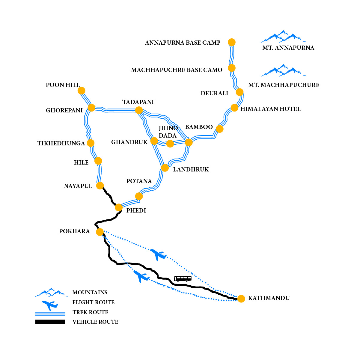
Elevation Chart & Map